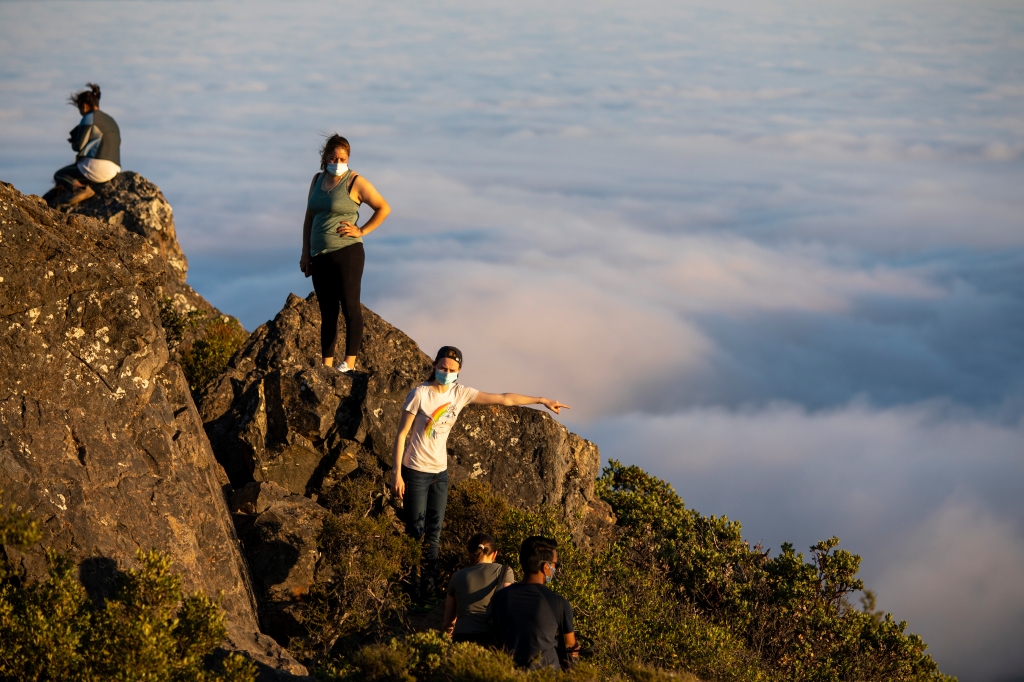
Love to hike but don’t have a car — or prefer not to use one? Evan Tschuy has you covered with Hiking by Transit, a new website of fantastic Bay Area hikes you can access using buses, trains and ferries.
“Living in the Bay Area – perhaps the region of the country with the most convenient and immediate access to hiking – without a car really made me feel like I was missing out on a lot of what made this place special,” says Tschuy, who lives in Berkeley. “I slowly found more and more transit-accessible hikes, until I realized how much access to these wonderful places I really had, if I only knew how.”
AC Transit. BART. WestCAT. VTA. Tri Delta. The Vine. They’re all represented, plus others, on Tschuy’s map of dozens of hikes, a list that grows ever-longer as he takes in suggestions from readers. His picks range as far north as Mendocino National Forest and south as Juan Bautista de Anza National Historic Trail, which runs all the way to the U.S-Mexico border. Often they drop you off at a trailhead, though in some cases a walk is needed to get there. But that’s what you’re after, right – some car-free exercise?

Tschuy has given personal descriptions of many of the hikes, spiked with humorous or helpful asides. For instance: In Fremont, “Mission Peak is a popular hike; if you’ve had the misfortune to be on dating apps in the last decade in the region, you’ll recognize the viewing pipes at the top from everyone’s photos standing on them.” And near Clayton and Danville: “Mount Diablo State Park is the crown jewel of the East Bay. On a clear day, from the summit, 40 of California’s 58 counties can be seen, from the Golden Gate Bridge to the Sentinel Dome of Yosemite Valley (provided you have good binoculars).”
He tried to throw in a good mix of hikes to appeal to a wide audience. “The hikes are a combination of things that are locally famous – summiting Mount Diablo or Mount Tam – and things that aren’t nearly so ‘famous’ in the wider community but are still absolutely beautiful places with generally better transit access,” he says. “I don’t expect the average hiker to really want to hike 3,000 feet uphill to the top of Diablo, but I’ve hiked (Union City’s) Dry Creek Pioneer Regional Park several times and knew that it would be a great easier option with loops for all levels of hiker, for instance.”
“Hiking by Transit” might be an eye-opener for people who just assumed you need a car to enjoy nature. That’s kind of the way many of these areas developed, notes Tschuy.
“A lot of what makes it hard to get out into nature on public transit is the historic legacy of how our natural spaces came to be,” he says. “They’re usually out on the fringe of suburbia, and with transit agencies having to make difficult decisions about what services to run, a lot of those outermost buses get cut in favor of keeping service in denser areas.”
When political discussion turns to slashing public transit, says Tschuy, something often lost is the role buses and trains play in getting us into our parks.
“AC Transit runs buses up into the Berkeley and Oakland Hills: the 65 and 67 to Tilden and the 39 to Redwood Regional are two of the most important. But since the pandemic, none of these buses have run on weekends, since they nominally serve wealthier and less dense areas,” he says. “The East Bay Regional Park District, meanwhile, has overflowing parking lots in those same parks where often, if you come too late in the morning, you won’t be able to get a spot at all.
“I’d really like to see a trial program where paid parking at the most crowded parking lots pays to run a parks-shuttle service from BART, up along Skyline and Grizzly Peak to the parks, and back down to BART,” he continues. “It would do a good job both encouraging drivers to try out different areas of our parks systems, and getting people and families with no easy access to parks today a way into them.”
𝗖𝗿𝗲𝗱𝗶𝘁𝘀, 𝗖𝗼𝗽𝘆𝗿𝗶𝗴𝗵𝘁 & 𝗖𝗼𝘂𝗿𝘁𝗲𝘀𝘆: www.mercurynews.com
𝗙𝗼𝗿 𝗮𝗻𝘆 𝗰𝗼𝗺𝗽𝗹𝗮𝗶𝗻𝘁𝘀 𝗿𝗲𝗴𝗮𝗿𝗱𝗶𝗻𝗴 𝗗𝗠𝗖𝗔,
𝗣𝗹𝗲𝗮𝘀𝗲 𝘀𝗲𝗻𝗱 𝘂𝘀 𝗮𝗻 𝗲𝗺𝗮𝗶𝗹 𝗮𝘁 dmca@enspirers.com


